TREE INVENTORY & MAPPING · HONOLULU, HI · OAHU
A tree inventory is a documented record of every tree on a property — species, size, health status, structural condition, and risk rating. For HOAs, commercial properties, and municipal clients across Oahu, an up-to-date inventory is the foundation for liability management, maintenance budgeting, and regulatory compliance.
Without an inventory, property managers are making tree decisions based on what they can see from the parking lot. With one, you have a data-backed maintenance schedule, a documented baseline for insurance purposes, and a clear picture of which trees need attention this season versus next year.
We deliver inventories in formats compatible with GIS platforms and standard property management software. Every tree is tagged, photographed, and rated against ANSI A300 risk assessment criteria. We serve commercial properties across Kaimuki, Hawaii Kai, Kaneohe, Pearl City, and Aiea.
Free scoping call · Commercial and HOA properties · GIS-compatible output
Not sure which applies? Call us — free scoping call, no obligation.
THE PROCESS
A tree inventory is a systematic field survey of every significant tree on a property — documented with location, species, condition, and management data. Here is how we build it.
Before field work starts, we define the inventory scope with you: what minimum trunk diameter gets included, what data fields are required (species, DBH, condition rating, recommended action, GPS coordinates), and what the finished output format needs to be — spreadsheet, GIS shapefile, ArcGIS layer, or custom database. Municipal and commercial clients often have specific data schema requirements. We build to your spec.
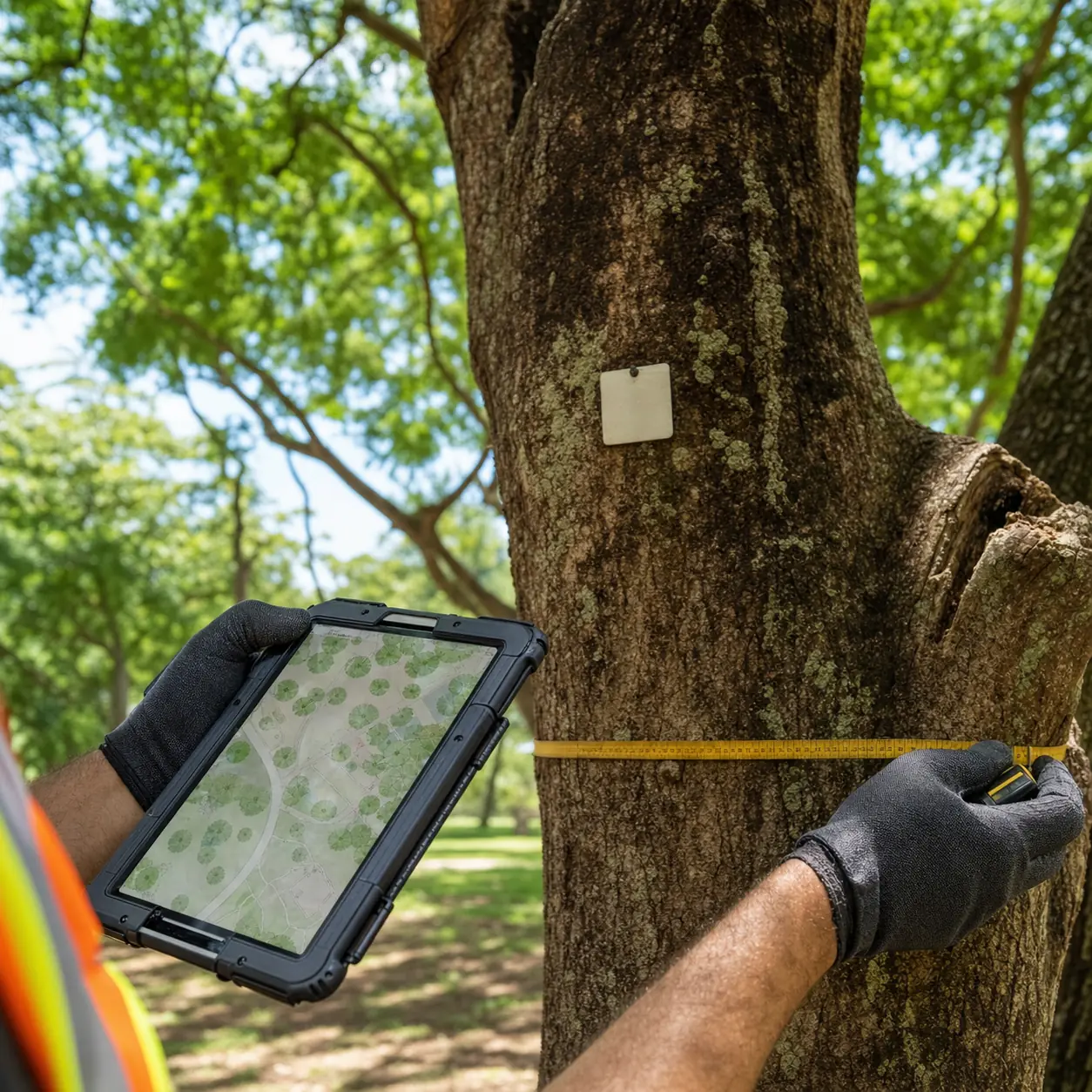
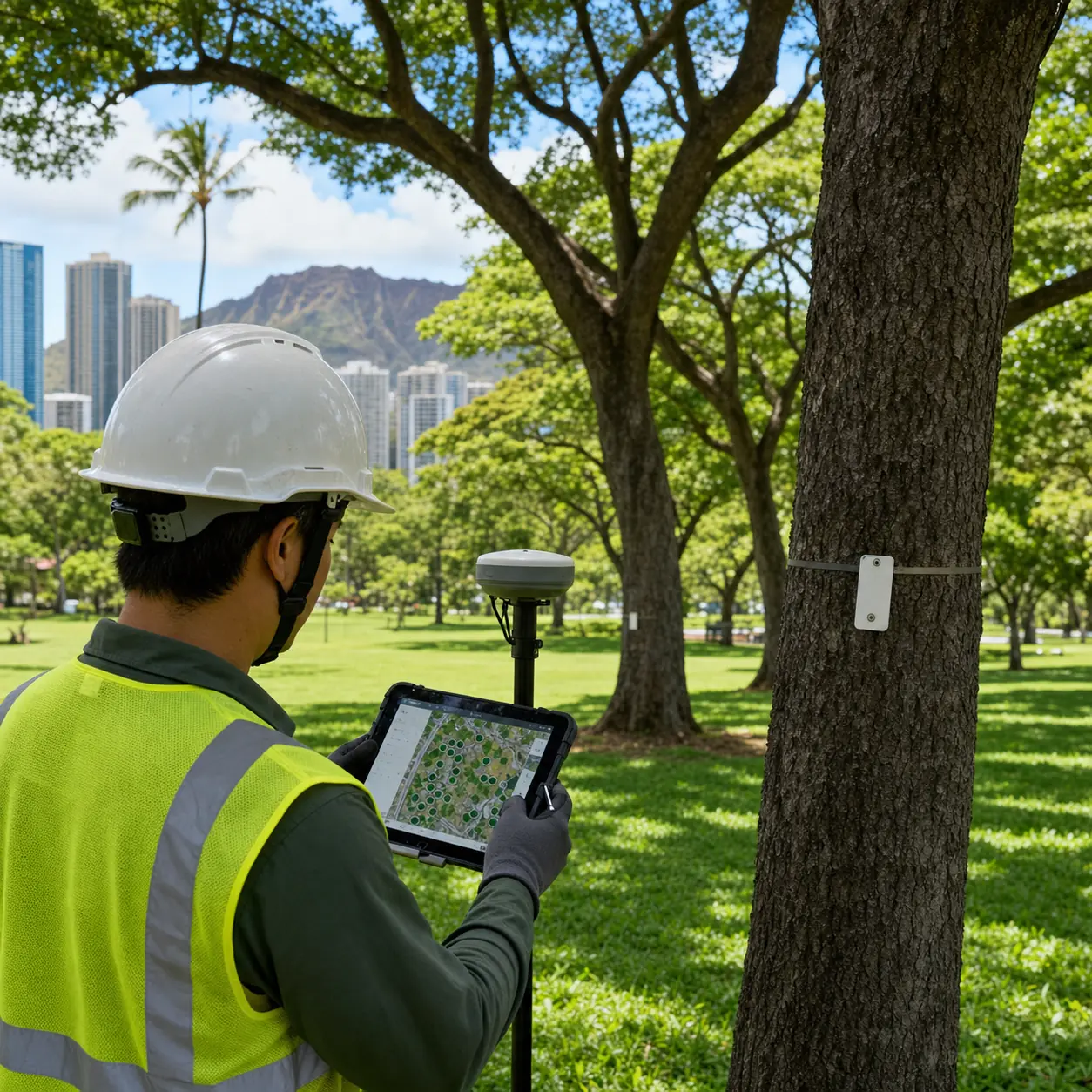
Field crews work systematically through the property, tagging or GPS-pinning each tree in scope and recording the required data fields. For large commercial or municipal properties across Honolulu (96816) and Kaneohe (96744), we use GPS data collectors to capture coordinates accurate to sub-meter precision. Species identification is performed by ISA Certified Arborists, not field technicians alone.
Each tree is assigned a condition rating (good, fair, poor, dead) and a management priority (routine maintenance, needs attention, hazard — act within 30 days). Priority coding allows you to immediately see which trees require action rather than sorting through a flat list of several hundred entries. The coding system is defined with you before field work begins so it matches your existing maintenance workflows.
The finished inventory is delivered as a GIS-ready dataset with point locations, attribute table, and a printable canopy map. For HOA and commercial clients we also provide a written summary report: total canopy count, species breakdown, condition distribution, and a prioritized action list. Data is delivered within five business days of field completion for standard residential and commercial inventories.
One thing we tell every inventory client: an inventory is a snapshot in time. Trees change — they are damaged by storms, they respond to treatment, they decline. An inventory that is more than two years old may no longer accurately reflect the current condition of the canopy. We recommend building an update schedule into the program rather than treating the first inventory as a permanent document.
Ready to Commission a Tree Inventory?
We scope the field survey, collect species and condition data, and deliver a GIS-ready canopy map and spreadsheet.
WHAT WE HANDLE
Inventory scope and output format are defined before field work starts. We build to your data requirements.
HOA communities across Hawaii Kai (96825) and Kaneohe (96744) use tree inventories to manage common-area maintenance budgets, document risk management programs, and provide disclosure documentation for property sales. We deliver a prioritized action list alongside the inventory data.
Commercial properties preparing for landscaping renovation, capital improvement planning, or insurance documentation need an accurate current inventory of their tree assets. We provide condition-rated, GPS-located data in the format your team uses.
Canopy mapping produces a visual layer showing the location and approximate spread of every tree on a site — useful for planning, landscaping design, and regulatory canopy coverage reporting. Delivered as a GIS shapefile, KMZ, or ArcGIS Online layer depending on your team's platform.
City and county agencies managing street trees, park canopy, and school properties require inventory data that meets State and County of Honolulu documentation standards. We have experience with municipal data schema requirements and deliverable formats for Honolulu DPP and Division of Urban Forestry projects.
WHY CANOPY DATA MATTERS BEFORE A DEVELOPMENT PROJECT
For development projects in Honolulu, the Division of Urban Forestry and Honolulu DPP may require documentation of existing trees before site work begins — particularly for properties with heritage trees or significant canopy. A pre-construction inventory establishes baseline data that protects you from claims about trees that were removed versus trees that were already in decline.
For HOA boards, a current tree inventory is increasingly expected by insurers as part of a canopy risk management program. An outdated inventory — or no inventory at all — leaves the board without documentation if a tree incident occurs. An annual or biannual update program provides a continuous record.
Need a tree inventory before your next project?
We define the scope, collect the data, and deliver GIS-ready output. Call to discuss your property and timeline.
Call (808) 207-0841INSURANCE & COST
A documented tree inventory is increasingly required by commercial and HOA insurers in Hawaii as evidence of active canopy risk management. For properties with trees over occupied spaces — parking lots, walkways, school playgrounds — an inventory with condition ratings and priority coding shows that the property owner is actively managing the risk.
For development projects requiring environmental or landscaping permits, a tree inventory documenting species, location, and condition is often required as part of the application. We produce inventory data in the formats accepted by Honolulu DPP and State DLNR.
Cost depends on property size, tree count, data complexity, and output format requirements. A small HOA community with fifty trees in common areas is a one-day field job. A large municipal park with several hundred trees requires a multi-day crew. We scope the project and provide a fixed price before field work begins — no open-ended hourly billing on inventory projects.
Want a straight answer on cost and coverage?
Call us with your details. We give you an exact written price and can tell you whether your situation has any coverage angle.
Standard inventory fields include: species (common and scientific name), trunk diameter at breast height (DBH), estimated canopy spread, GPS coordinates, condition rating (good/fair/poor/dead), and management recommendation. Custom fields — asset ID, maintenance history, structural notes — are added to the schema before field work begins based on the client's requirements.
We deliver in whatever format your team uses: Excel spreadsheet, CSV, GIS shapefile, GeoJSON, KMZ, or ArcGIS Online layer. For clients without GIS software, we provide a printable PDF canopy map alongside the data file. Format requirements are defined at the start of the project.
A residential property with ten to twenty trees takes half a day. A large commercial or HOA property with several hundred trees takes one to three days depending on access and data complexity. Municipal projects are scoped individually. Data processing and delivery adds three to five business days after field completion.
We recommend every two years as a standard update cycle. Trees change — storm damage, disease, removal, new planting — and an inventory older than two years may not accurately reflect current conditions. Some HOA and commercial clients run annual updates as part of their canopy risk management program.
Yes. The GIS canopy map output is compatible with the canopy coverage calculations required for Honolulu DPP permits, State DLNR environmental assessments, and HOA canopy ratio reporting. We flag this requirement at the start of the project to ensure the data collection approach meets the specific calculation methodology required.